Robin Wilson
Remote sensing academic
 This is a set of tools for ArcGIS which add useful new functionality. They developed from routines I created for my Dunes GIS project, and are currently under development.
The tools included in the current version of RTWTools for ArcGIS are:
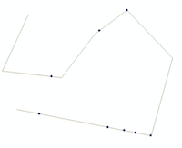
- Snap points to lines
The code is available at the RTWTools for ArcGIS GitHub page