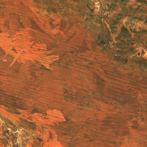
Led a team creating a large cloud-based remote sensing system
While working with a multi-national mining company, I led the team which developed a cloud-based system to store, visualize and process large volumes of satellite data - including global data products, geophysical datasets and massive hyperspectral images. The system was based on the Spatio-Temporal Asset Catalog and Cloud-Optimized GeoTIFFs, and was built on Microsoft Azure. The initial data load was over 100Tb, and the system was designed to scale to multiple Petabytes of data.
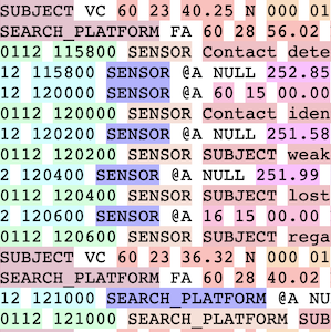
Lead developer on software for storing ship tracks for the UK Navy
I worked as a contractor with the UK Navy as the lead developer for Pepys, software which provides a means of storing ship tracks (location and status over time) for later analysis by Navy specialists. The system is based on a PostGIS backend for storing normalized geographic data and vessel metadata, with a Python front end for importing data from a wide range of file formats. Particular features of interest include building an API for Navy developers to write their own file parsers, producing highlighted copies of input files to check correct parsing of manually-created files, and merging multiple databases that may have been created separately into one consistent database.
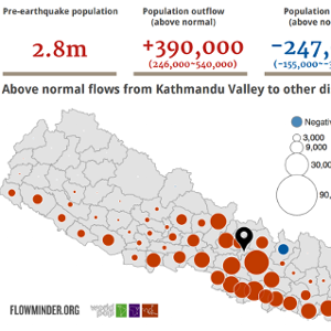
Led a data science team responding to the Nepal earthquake
While working with Flowminder, I led the team which produced humanitarian data in response to the 2015 Nepal earthquake. We processed huge volumes of mobile phone records to analyse population mobility in the aftermath of the disaster, thus helping direct aid to the correct places, and our project won a prize at the Global Mobile Awards in 2016. The project involved processing many terabytes of data in very short timescales, and responding rapidly to requests from humanitarian agencies. More details
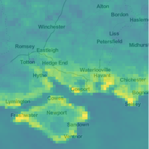
Processed large volumes of raster and vector for multiple clients
I have processed decade-long satellite data time-series for the London School of Hygiene and Tropical Medicine, to examine the health impacts of air pollution. My expert knowledge of vector and raster processing allows me to create reproducible workflows that combine multiple data sources to produce a coherent overview of a particular situation. I have significant experience with many forms of open data, and maintain a comprehensive list of freely-available GIS data.
Accomplished researcher
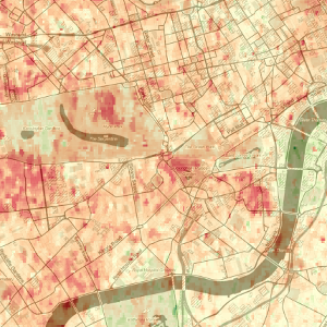
My PhD (Developing a novel method to retrieve high spatial resolution Aerosol Optical Thickness from satellite data) won the RSPSoc PhD Prize, and I have academic publications with over 400 total citations. My academic work focused on combining detailed atmospheric simulations with processing of large volumes of satellite data, and involved collaborators across the world. I am still involved in academic work, and have recently freelanced with Loughborough University on some machine learning work.
Maintainer of multiple open-source projects
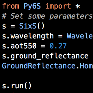
I am an expert programmer, and am active in the open-source community, maintaining multiple open-source projects. I am the lead author of Py6S (a Python library to allow easy use of the 6S atmospheric radiative transfer model) and have contributed to many scientific Python packages. I have spoken at multiple international Python and geospatial conferences (for example PyConUK and FOSS4G).
Significant teaching experience
I have a MSc-level qualification in teaching, and have experience teaching students from GCSE-level through to accomplished academics. I have taught on undergraduate and MSc courses, and supervised student dissertations, including one which won the RSPSoc MSc Prize. More recently, I have provided bespoke tutoring on Python and data science to academics, and run lessons on Computing and Geography at a Secondary School. I am regularly invited to speak at conferences, meet-ups and local science groups.
And more...
- I have successfully obtained over £130,000 of research funding
- I produced a calibrated time-series of night-time lights satellite images, now used as the basis for multiple papers
- I edited SENSED (the RSPSoc quarterly magazine) for four years, where my efforts significantly improved the quality of the magazine
- I am a fellow of the Software Sustainability Institute (an organisation focused on improving the quality of software used in research) and have been responsible for multiple initiatives to improve reproducibility and recognition of scientific software.
